We also have done a resupply from items in our car and from the Rite Aide down the road. Having a car is still strange but I have tentative plans for shuttles that will get us through GA, lower NC, and the Smokies.
Tomorrow, we will leave our car at Sally Smith's house again and she will take us to Nantahala Outdoor Center (Wesser NC) and we will hike south 68 miles over five days to get back to Hiawassee and our car. We will then try to repeat this cycle with a couple who live just south of the Smokies.
Becky had asked what our plans were and how many miles we have left. Here is an explanation.
We left in April with three possible goals:
1) Hike to Mt. Katahdin in Maine
2) Complete the AT
3) Thru-hike the AT in 2010
We have decided that we do not have the time or desire to repeat this year the 300 miles we already hiked in 2007 and 2008 from Harper's Ferry to the Daleville/Troutville area of Virginia (near Roanoke). So goal 3 is out.
We decided that we do want to complete the AT this year so we have started hiking the remaining miles from the southern terminus at Springer Mountain in Georgia back up to Daleville/Troutville. This is 719 miles and it will complete the AT for us (if you include the miles hiked in previous years).
Wendy starts a job the beginning of November so we only have 6 weeks remaining. We probably will not be able to complete all of the 719 miles by end of Oct. but we will do as many as we can. There are 460 miles from Springer Mountain to the Virginia state line (includes GA, NC, Smokies, TN). It will be another 260 miles in Virginia to get back to Daleville/Troutville . Even if we go slow, this will put us well into Virginia and we will then finish the remaining miles on long weekends (she only works a 3 day week and I still do not have a job).
Phone signals have been weak and sporadic so I have not been able to update regularly. I will still try to write each day and send when I can.
My impression of Georgia is still good but I have never seen so much poison ivy. The trails have been good and the shelters have too.
Also an update on our daughter Andi and her trip to Madagascar: we have spoken to her usingSkype on the cell phones (we call the graduate researcher's local cell phone). Her trip was difficult but she likes where she is staying. On Monday she and the researcher plus 3 locals and a local Wildlife Conservation Society employee left via boat to ride up a river to a village where they start a 13 trip on foot into the forest to install cameras. In the village, they will pick 21 local guides to act as porters to carry their equipment. She seems happy.
I have a couple of links that I should have passed on sooner.
This is a nice map of the AT. As you zoom in it shows more shelters. Should give a good view of the terrain and where we are sleeping when in a shelter.
Also here is an online (PDF) version of the Thru-hikers Companion. This is the book I use on the trail to plan our hikes, stops, breaks, etc.
I will put both links on the links page.

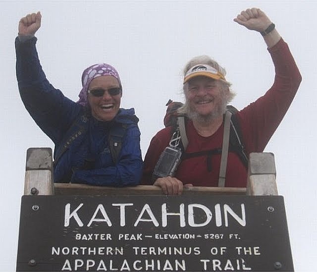
Great picture of the two of you on Katahdin. Sounds like you are pretty organized and moving along well. Thanks for the updates, we are loving them. Congrats to Wendy on the new job. Safe journey.
ReplyDelete